Herculaneum Streets. Cardo I and II.
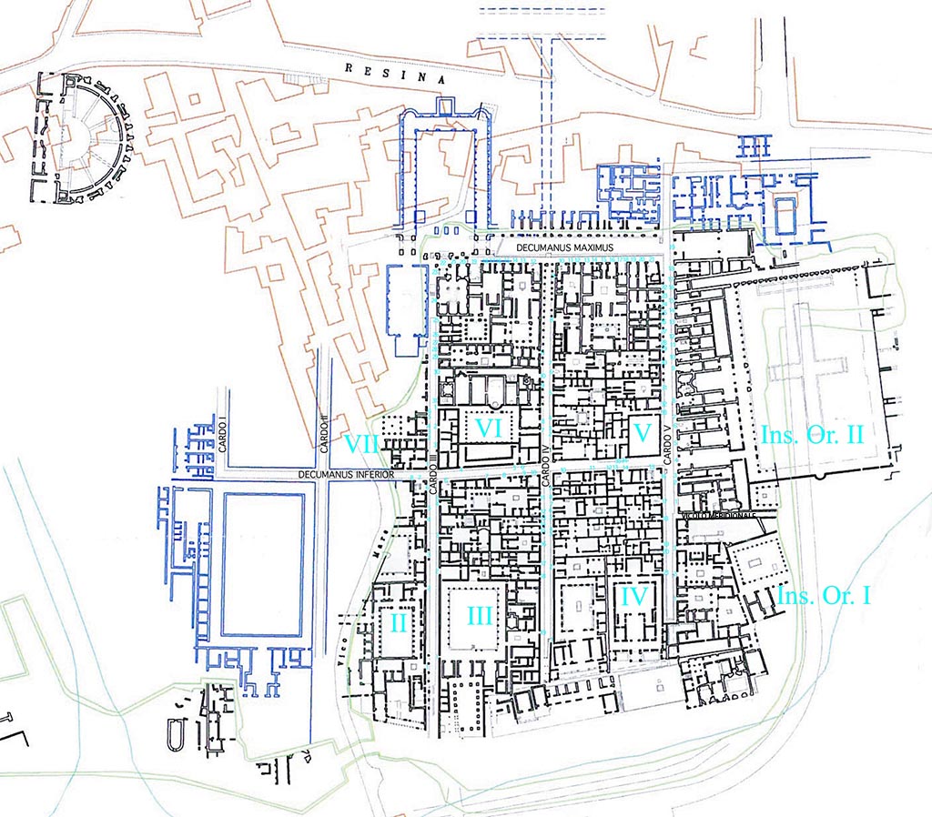
Cardo I and II, Herculaneum. Plan after Pagano 2007.
The areas in blue, including Cardo I and Cardo II, are known only from Bourbon plans and drawings and are not visible.
The areas in black are the visible excavated structures.
Brown shows modern Ercolano.
Green shows the limit of the excavations.
Despite the difficulties of surveying in tunnels (the instrument, the ‘circumferator’, could not even turn round as it had to do to work, in some) at least fourteen plans were produced between 1739 and 1750.
See Wallace-Hadrill, A., 2011. Herculaneum Past and Future. London: Frances Lincoln, p. 50.
in 1741, the prime minister of the Bourbon King appointed Pierre Bardet de Villeneuve as the director of the excavations at Herculaneum. Bardet was a French engineer and was also serving in the corps of royal engineers at Portici. Bardet continued to excavate the site for the next four years by using the tunnelling method but a noteworthy change he made was to excavate along the street lines so as not to destroy and cut through any walls.
See Özgenel, L., 2008. A Tale of Two Cities: In Search for Ancient Pompeii And Herculaneum. METU JFA 2008/1, p. 12.
Three vertical cardines are visible, traditionally numbered from west to east, Cardo III, IV and V. Two further cardines [not visible] were marked on the plans made by the Bourbons, hence numbered from the west Cardo I and II.
See Wallace-Hadrill, A., 2011. Herculaneum Past and Future. London: Frances Lincoln, p. 98.
View Larger plan
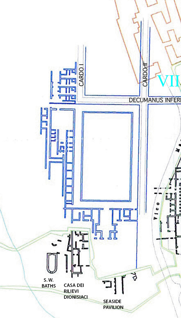
The plan shows the recently excavated Casa dei Rilievi Dionisiaci and the Seaside Pavilion which appear to align with the rest of insula I and II.
The steps at the bottom of Cardo II have been found in these new excavations towards the Villa of the Papyri.
The same excavations verify the Bourbon maps in suggesting that the westernmost block of the town was thinner than the others, with an offset profile, narrowed by the steep drop in the land presumably caused by the passage of the westernmost of the two rivers described by the Roman historian Lucius Cornelius Sisenna:
“Oppidum tumulo in excelso loco propter mare,
parvis moenibus, inter duos fluvios infra Vesuvium collocatum”
(The town, enclosed by small walls, stands on top of a promontory by
the sea between two rivers at the bottom of Vesuvius)
See Wallace-Hadrill, A., 2011. Herculaneum Past and Future. London: Frances Lincoln, p. 98-99.
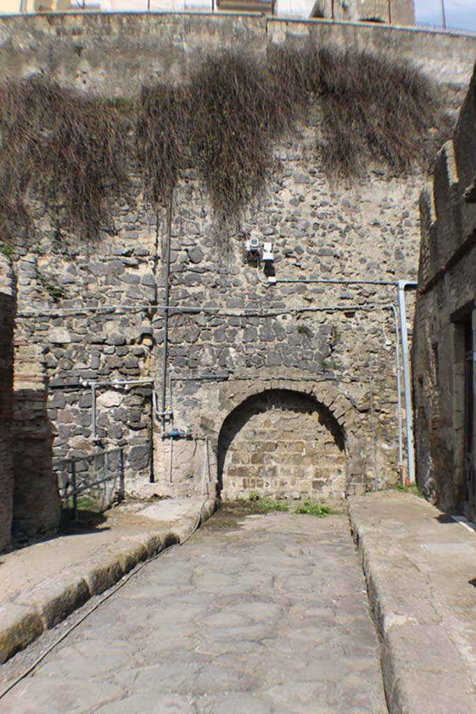
Foto Annette Haug, ERC Grant 681269 DÉCOR.
II.2 Herculaneum, Casa d’ Argo, or House of Argus. House of Perseus and Medusa. September 2015.
The present day entrance doorway would originally have been the rear ‘posticum’ doorway from the rear of the peristyle.
The main doorway would have been entered from Cardo II but has not yet been excavated into the open air.